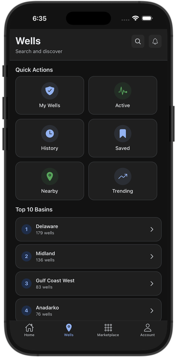
Wellsite™ gives you a real-time view of wells, crews, and activity across the oilfield.
Free to start. No credit card required.
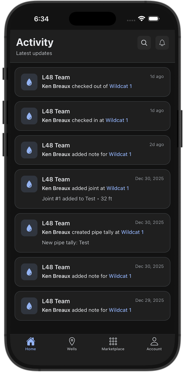
Wellsite™ keeps you connected to what's actually happening in the field — so work isn't scattered across texts, calls, and spreadsheets.
Track rigs, frac spreads, permits, and production across every basin.
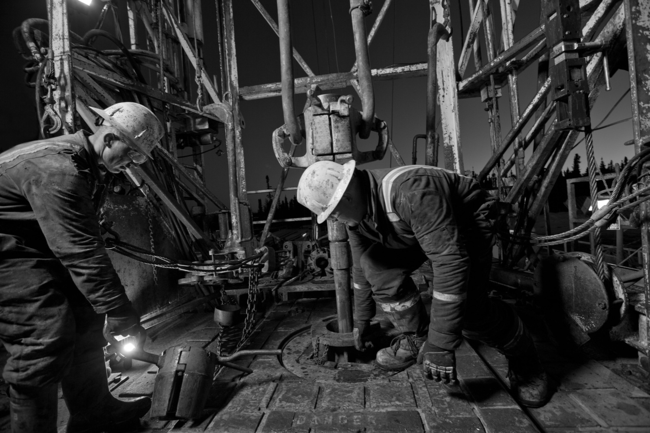
Track pad construction, rig movement, and spud timing. Know when operators are mobilizing before permits hit public record.
Follow frac crew movement and stage progress. See when wells enter flowback and prepare for what's next.
Monitor first oil, DUC drawdowns, and ramp-ups. See which wells are coming online and where.
I follow the oilfield
Get connected and track oilfield activity across the basins and operators that matter to you.
I work in the oilfield
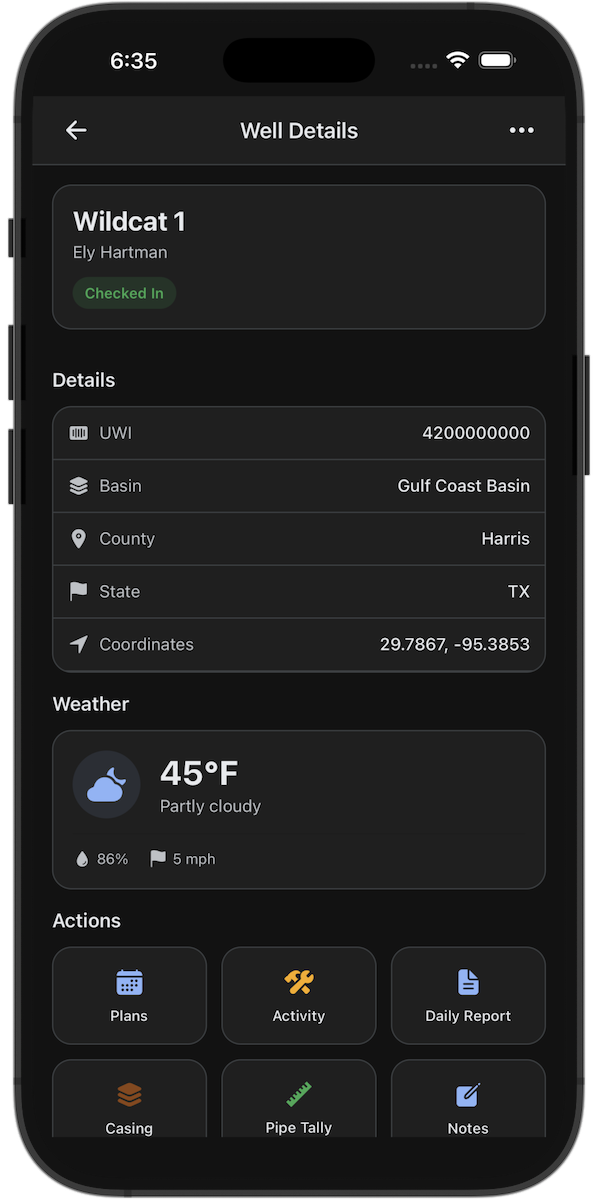
Get to the well, see who's on location, and stay on top of what's happening across the operation.
I sell to the oilfield
Surface your products and services where work is happening, receive RFQs, and sell into active operations.
- VP of Sales
Download Wellsite. Start free.